Bridge Road Works, Brighouse
Introduction
The photograph on this page of Bridge Road Works, Brighouse by Humphrey Bolton as part of the Geograph project.
The Geograph project started in 2005 with the aim of publishing, organising and preserving representative images for every square kilometre of Great Britain, Ireland and the Isle of Man.

There are currently over 7.5m images from over 14,400 individuals and you can help contribute to the project by visiting https://www.geograph.org.uk
Bridge Road Works, Brighouse
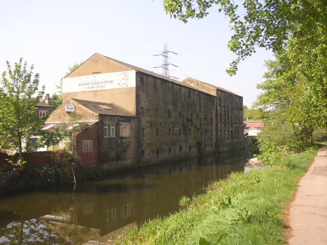
Image: © Humphrey Bolton Taken: 11 May 2006
This building was captioned 'Corn Mill' on the 1850 6" map and 'Upper Mill (disused)' on the 1907 1:2500 map. It is on the south side of the canal. The ground floor is now (2010) a workshop making wooden garden sheds, summer houses etc..
Images are licensed for reuse under creativecommons.org/licenses/by-sa/2.0
Image Location


Leaflet Map data © OpenStreetMap
Latitude
53.70054
Longitude
-1.783365