Bournemouth: Avenue Lane
Introduction
The photograph on this page of Bournemouth: Avenue Lane by Chris Downer as part of the Geograph project.
The Geograph project started in 2005 with the aim of publishing, organising and preserving representative images for every square kilometre of Great Britain, Ireland and the Isle of Man.

There are currently over 7.5m images from over 14,400 individuals and you can help contribute to the project by visiting https://www.geograph.org.uk
Bournemouth: Avenue Lane
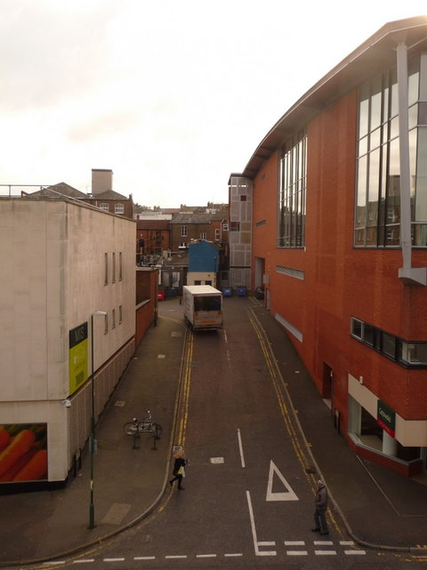
Image: © Chris Downer Taken: 9 Feb 2010
Essentially a delivery access road for shops on the north side of Commercial Road, Avenue Lane goes up from Avenue Road with the Marks & Spencer store on the left, and the back end of the Image on the right.
Images are licensed for reuse under creativecommons.org/licenses/by-sa/2.0
Image Location
Latitude
50.720728
Longitude
-1.883787