Markeaton Brook, Brook Walk, Derby
Introduction
The photograph on this page of Markeaton Brook, Brook Walk, Derby by Eamon Curry as part of the Geograph project.
The Geograph project started in 2005 with the aim of publishing, organising and preserving representative images for every square kilometre of Great Britain, Ireland and the Isle of Man.

There are currently over 7.5m images from over 14,400 individuals and you can help contribute to the project by visiting https://www.geograph.org.uk
Markeaton Brook, Brook Walk, Derby
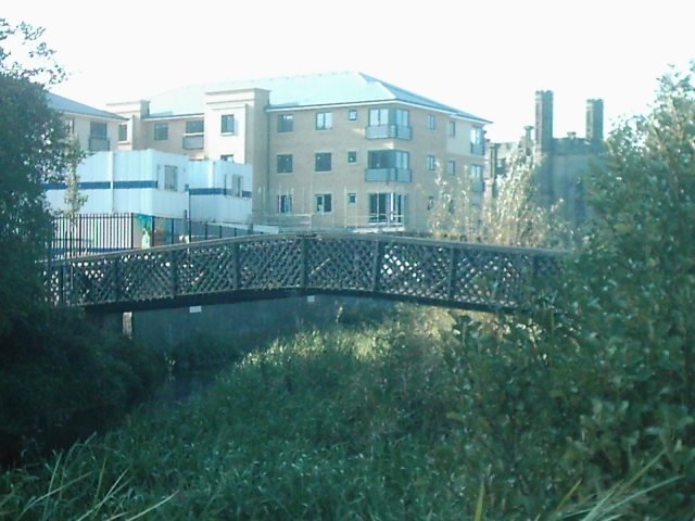
Image: © Eamon Curry Taken: 22 Oct 2007
The bridge linking Brook Walk and Searl Street with Markeaton Brook running underneath with Brookbridge developments ahead and St Johns Church to the right.
Images are licensed for reuse under creativecommons.org/licenses/by-sa/2.0
Image Location
Latitude
52.925787
Longitude
-1.485732