Former Quaker Meeting House, Moorhouse
Introduction
The photograph on this page of Former Quaker Meeting House, Moorhouse by Tom Howe as part of the Geograph project.
The Geograph project started in 2005 with the aim of publishing, organising and preserving representative images for every square kilometre of Great Britain, Ireland and the Isle of Man.

There are currently over 7.5m images from over 14,400 individuals and you can help contribute to the project by visiting https://www.geograph.org.uk
Former Quaker Meeting House, Moorhouse
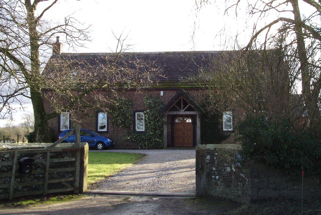
Image: © Tom Howe Taken: 9 Feb 2010
This was built in 1733 and used as a Quaker Meeting House until 1964. It is now a private house.
Images are licensed for reuse under creativecommons.org/licenses/by-sa/2.0
Image Location
Latitude
54.900141
Longitude
-3.037269