Buckley Lane (now footpath)
Introduction
The photograph on this page of Buckley Lane (now footpath) by Peter Thwaite as part of the Geograph project.
The Geograph project started in 2005 with the aim of publishing, organising and preserving representative images for every square kilometre of Great Britain, Ireland and the Isle of Man.

There are currently over 7.5m images from over 14,400 individuals and you can help contribute to the project by visiting https://www.geograph.org.uk
Buckley Lane (now footpath)
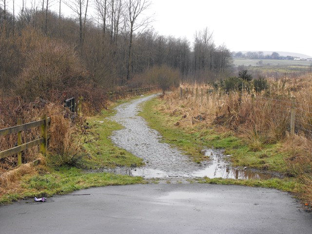
Image: © Peter Thwaite Taken: 5 Feb 2010
Heading north Buckley Lane, beyond its junction with Buckley Road and Rydings Road, is now cobbled and is a footpath closed to traffic. Rydings Road now carries road traffic north beyond this point and is signposted as private road closed to pedestrians.
Images are licensed for reuse under creativecommons.org/licenses/by-sa/2.0
Image Location
Latitude
53.634588
Longitude
-2.141514