Road bridge / river culvert, Eachelhurst Road
Introduction
The photograph on this page of Road bridge / river culvert, Eachelhurst Road by Michael Westley as part of the Geograph project.
The Geograph project started in 2005 with the aim of publishing, organising and preserving representative images for every square kilometre of Great Britain, Ireland and the Isle of Man.

There are currently over 7.5m images from over 14,400 individuals and you can help contribute to the project by visiting https://www.geograph.org.uk
Road bridge / river culvert, Eachelhurst Road
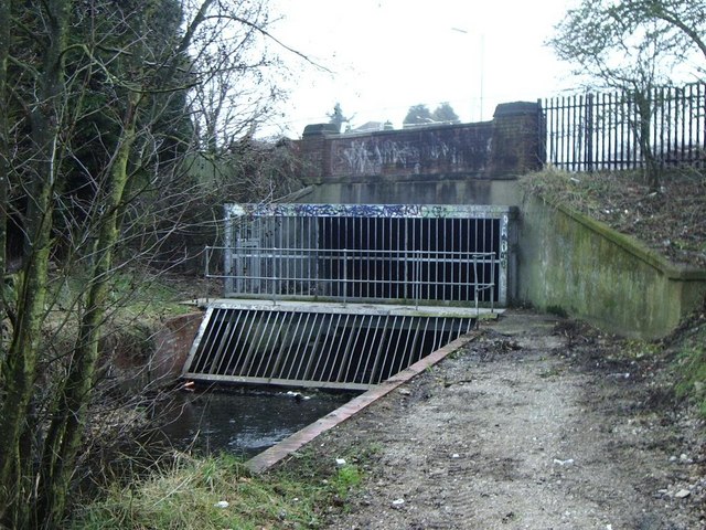
Image: © Michael Westley Taken: 6 Feb 2010
Plants brook reaches Eachelhurst Road along boundary of Pype Hayes Park. These extensive gates and railings prevent blockages /floods and unwanted access beneath the road. The river then continues into the nature reserve on the opposite side of the road.
Images are licensed for reuse under creativecommons.org/licenses/by-sa/2.0
Image Location
Latitude
52.527954
Longitude
-1.800965