Meadow near Ford Bridge
Introduction
The photograph on this page of Meadow near Ford Bridge by Derek Harper as part of the Geograph project.
The Geograph project started in 2005 with the aim of publishing, organising and preserving representative images for every square kilometre of Great Britain, Ireland and the Isle of Man.

There are currently over 7.5m images from over 14,400 individuals and you can help contribute to the project by visiting https://www.geograph.org.uk
Meadow near Ford Bridge
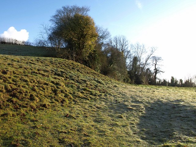
Image: © Derek Harper Taken: 1 Feb 2010
The abrupt changes of slope in this frosty meadow on the east side of the lane from Milverton to Halse betray the fact that it formed part of Ford Bridge Quarry, most of which is on the other side of the lane.
Images are licensed for reuse under creativecommons.org/licenses/by-sa/2.0
Image Location
Latitude
51.028497
Longitude
-3.247676