Nantyffyllon: postbox № CF34 10, High Street
Introduction
The photograph on this page of Nantyffyllon: postbox № CF34 10, High Street by Chris Downer as part of the Geograph project.
The Geograph project started in 2005 with the aim of publishing, organising and preserving representative images for every square kilometre of Great Britain, Ireland and the Isle of Man.

There are currently over 7.5m images from over 14,400 individuals and you can help contribute to the project by visiting https://www.geograph.org.uk
Nantyffyllon: postbox № CF34 10, High Street
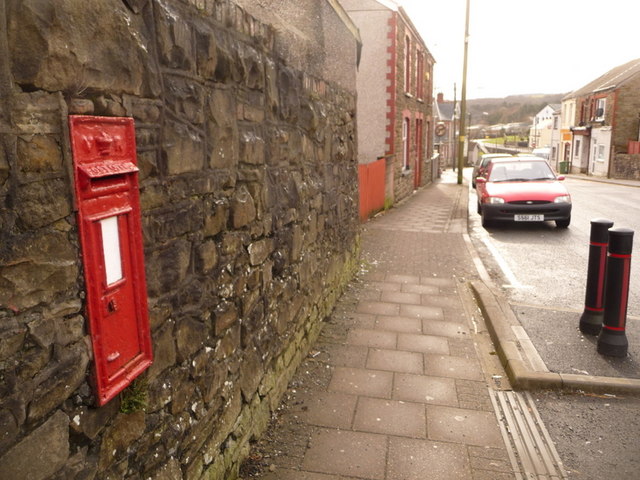
Image: © Chris Downer Taken: 1 Feb 2010
A Victorian postbox set into a wall on the main road, along which we are looking towards Maesteg. The box is currently missing its collection-times plate.
Images are licensed for reuse under creativecommons.org/licenses/by-sa/2.0
Image Location
Latitude
51.618201
Longitude
-3.661591