Belvoir Park flats, Belfast (2)
Introduction
The photograph on this page of Belvoir Park flats, Belfast (2) by Albert Bridge as part of the Geograph project.
The Geograph project started in 2005 with the aim of publishing, organising and preserving representative images for every square kilometre of Great Britain, Ireland and the Isle of Man.

There are currently over 7.5m images from over 14,400 individuals and you can help contribute to the project by visiting https://www.geograph.org.uk
Belvoir Park flats, Belfast (2)
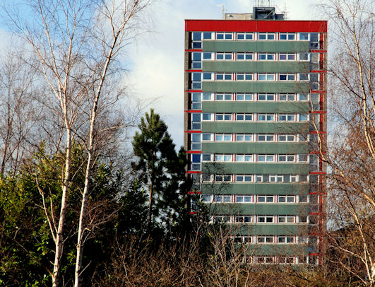
Image: © Albert Bridge Taken: 8 Feb 2010
Another look at one of the two blocks seen in Image Architecturally a close relative of those at Seymour Hill Image I can’t confirm the exact date of building but it seems to have been circa 1959/62.
Images are licensed for reuse under creativecommons.org/licenses/by-sa/2.0
Image Location
Latitude
54.548873
Longitude
-5.928973