Llanmadoc: choice of dead ends
Introduction
The photograph on this page of Llanmadoc: choice of dead ends by Chris Downer as part of the Geograph project.
The Geograph project started in 2005 with the aim of publishing, organising and preserving representative images for every square kilometre of Great Britain, Ireland and the Isle of Man.

There are currently over 7.5m images from over 14,400 individuals and you can help contribute to the project by visiting https://www.geograph.org.uk
Llanmadoc: choice of dead ends
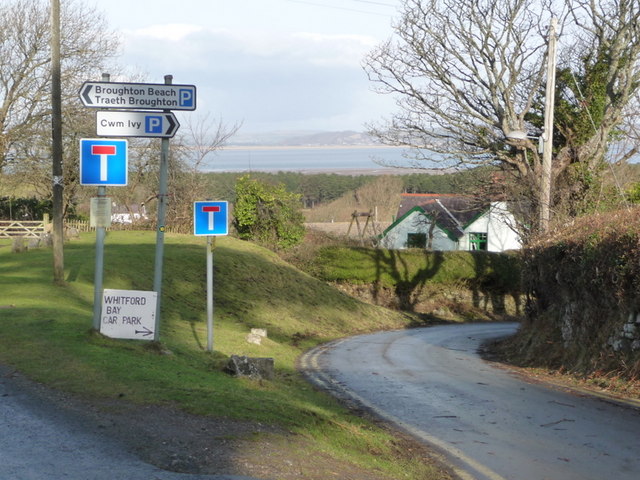
Image: © Chris Downer Taken: 1 Feb 2010
There is nowhere else to go once you get here – we are at the far end of the Gower peninsula. However, both routes will take you to pleasant walks to the wide sandy beaches of the Loughor estuary.
Images are licensed for reuse under creativecommons.org/licenses/by-sa/2.0
Image Location
Latitude
51.61791
Longitude
-4.255575