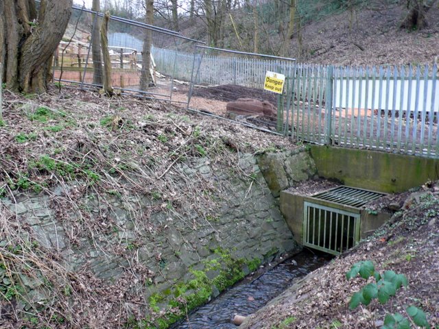
Boiling Wells Brook
Introduction
The photograph on this page of Boiling Wells Brook by Nigel Mykura as part of the Geograph project.
The Geograph project started in 2005 with the aim of publishing, organising and preserving representative images for every square kilometre of Great Britain, Ireland and the Isle of Man.
There are currently over 7.5m images from over 14,400 individuals and you can help contribute to the project by visiting https://www.geograph.org.uk

Image: © Nigel Mykura Taken: 7 Feb 2010
This brook runs through the valley of Ashley Vale. At one time the water was piped from here to the city centre in Quay Pipe to a water fountain on the quayside at the Stone Bridge, formerly called St Giles' Bridge, which was the highest point of the Frome navigable by the Severn trows and was known as Quay Head. It was called boiling because of its bubbling nature and not because of its temperature. In the background is the Boiling Wells site of St Werburghs City Farm. This is under construction and will provide an open air amphitheatre.

