Cornwall Street, Devonport
Introduction
The photograph on this page of Cornwall Street, Devonport by Derek Harper as part of the Geograph project.
The Geograph project started in 2005 with the aim of publishing, organising and preserving representative images for every square kilometre of Great Britain, Ireland and the Isle of Man.

There are currently over 7.5m images from over 14,400 individuals and you can help contribute to the project by visiting https://www.geograph.org.uk
Cornwall Street, Devonport
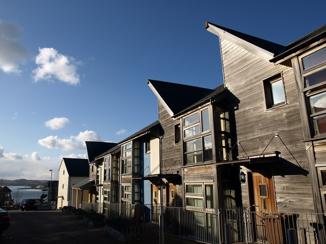
Image: © Derek Harper Taken: 30 Jan 2010
As in: the street leading to the spot on the Tamar where you catch a boat for Cornwall. This forms the central corridor of a little area hemmed in by dockyard to the north and south and known as North Corner. When I worked near here in 2003 this was a wasteland http://www.webrarian.co.uk/devonport/index.html with just a couple of old pubs down by the water's edge. These smart new houses have appeared since.
Images are licensed for reuse under creativecommons.org/licenses/by-sa/2.0
Image Location
Latitude
50.372079
Longitude
-4.181455