Top of Hillcrest Drive, where Crana Castle stood, you can just make out the outer ring
Introduction
The photograph on this page of Top of Hillcrest Drive, where Crana Castle stood, you can just make out the outer ring by lor edwards as part of the Geograph project.
The Geograph project started in 2005 with the aim of publishing, organising and preserving representative images for every square kilometre of Great Britain, Ireland and the Isle of Man.

There are currently over 7.5m images from over 14,400 individuals and you can help contribute to the project by visiting https://www.geograph.org.uk
Top of Hillcrest Drive, where Crana Castle stood, you can just make out the outer ring
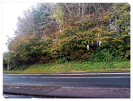
Image: © lor edwards Taken: 5 Nov 2009
At the top of Hillcrest Drive and the junction with Ridgeway, there is a clump of trees. This was Crana Castle, an ancient native camp, you can just see the outer ring here, there are two. No doubt this was used as a look-out point or hillfort in the past.
Images are licensed for reuse under creativecommons.org/licenses/by-sa/2.0
Image Location
Latitude
50.384517
Longitude
-4.036289