Towerblocks, Devonport
Introduction
The photograph on this page of Towerblocks, Devonport by Derek Harper as part of the Geograph project.
The Geograph project started in 2005 with the aim of publishing, organising and preserving representative images for every square kilometre of Great Britain, Ireland and the Isle of Man.

There are currently over 7.5m images from over 14,400 individuals and you can help contribute to the project by visiting https://www.geograph.org.uk
Towerblocks, Devonport
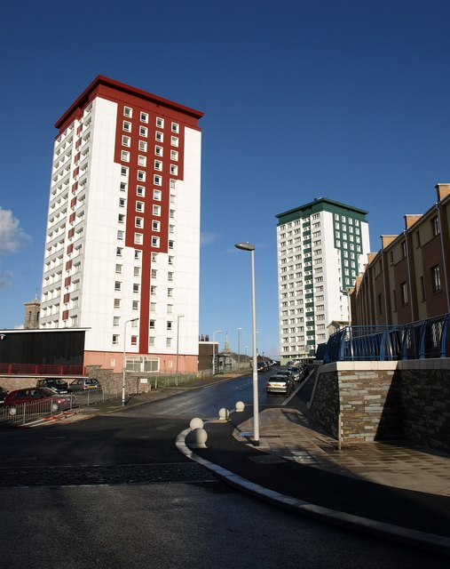
Image: © Derek Harper Taken: 30 Jan 2010
The red one is Tamar House, the green one is Lynher House. Each is 47 metres high, with 16-storeys and about 90 flats. They date from 1964, and were reclad in the 1990s. The road is James Street.
Images are licensed for reuse under creativecommons.org/licenses/by-sa/2.0
Image Location
Latitude
50.369465
Longitude
-4.176976