Pasture land near Weston under Penyard
Introduction
The photograph on this page of Pasture land near Weston under Penyard by Jonathan Billinger as part of the Geograph project.
The Geograph project started in 2005 with the aim of publishing, organising and preserving representative images for every square kilometre of Great Britain, Ireland and the Isle of Man.

There are currently over 7.5m images from over 14,400 individuals and you can help contribute to the project by visiting https://www.geograph.org.uk
Pasture land near Weston under Penyard
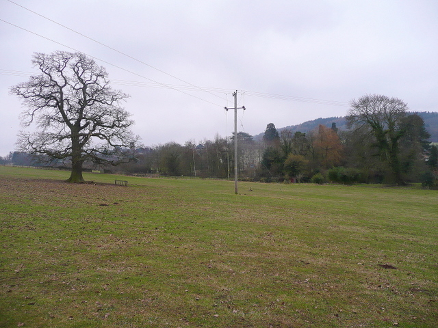
Image: © Jonathan Billinger Taken: 7 Feb 2010
Looking towards the Leadership Trust headquarters building partly hidden be trees, and the tower of the parish church just visible through the solitary tree.
Images are licensed for reuse under creativecommons.org/licenses/by-sa/2.0
Image Location


Leaflet Map data © OpenStreetMap
Latitude
51.911297
Longitude
-2.543217