Downs Lane Leatherhead
Introduction
The photograph on this page of Downs Lane Leatherhead by David Howard as part of the Geograph project.
The Geograph project started in 2005 with the aim of publishing, organising and preserving representative images for every square kilometre of Great Britain, Ireland and the Isle of Man.

There are currently over 7.5m images from over 14,400 individuals and you can help contribute to the project by visiting https://www.geograph.org.uk
Downs Lane Leatherhead
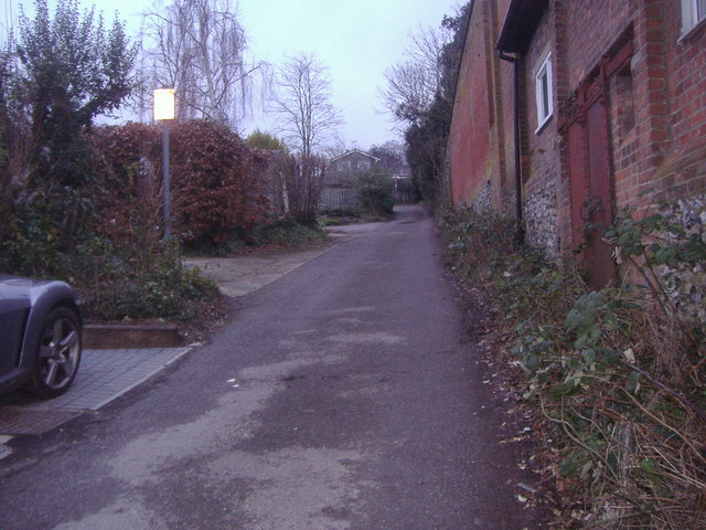
Image: © David Howard Taken: 7 Feb 2010
Although shown as a through road on maps this actually ends in a bridleway and not open to through traffic.
Images are licensed for reuse under creativecommons.org/licenses/by-sa/2.0
Image Location
Latitude
51.287824
Longitude
-0.325456