Skipton: Carleton New Road
Introduction
The photograph on this page of Skipton: Carleton New Road by Dr Neil Clifton as part of the Geograph project.
The Geograph project started in 2005 with the aim of publishing, organising and preserving representative images for every square kilometre of Great Britain, Ireland and the Isle of Man.

There are currently over 7.5m images from over 14,400 individuals and you can help contribute to the project by visiting https://www.geograph.org.uk
Skipton: Carleton New Road
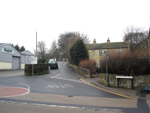
Image: © Dr Neil Clifton Taken: 7 Feb 2010
Carleton New Road makes a sharp left turn from this junction, rises and following a second sharp left turn, bridges both Broughton Road and the railway to run to Carleton. For those in the know, this road junction also provides access to places where you can park your car 'for nowt' and make your way back on foot to the station or the shopping centre.
Images are licensed for reuse under creativecommons.org/licenses/by-sa/2.0
Image Location
Latitude
53.959224
Longitude
-2.026177