Brook House sign, Chetwynd End
Introduction
The photograph on this page of Brook House sign, Chetwynd End by P L Chadwick as part of the Geograph project.
The Geograph project started in 2005 with the aim of publishing, organising and preserving representative images for every square kilometre of Great Britain, Ireland and the Isle of Man.

There are currently over 7.5m images from over 14,400 individuals and you can help contribute to the project by visiting https://www.geograph.org.uk
Brook House sign, Chetwynd End
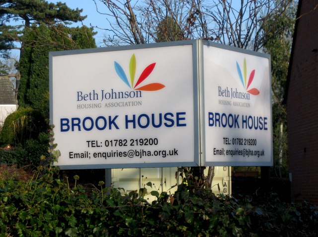
Image: © P L Chadwick Taken: 6 Feb 2010
This large sign is placed outside Brook House, so no-one can be unaware that this is a Beth Johnson Housing Association property. Image
Images are licensed for reuse under creativecommons.org/licenses/by-sa/2.0
Image Location
Latitude
52.771937
Longitude
-2.381487