Brook House, Chetwynd End
Introduction
The photograph on this page of Brook House, Chetwynd End by P L Chadwick as part of the Geograph project.
The Geograph project started in 2005 with the aim of publishing, organising and preserving representative images for every square kilometre of Great Britain, Ireland and the Isle of Man.

There are currently over 7.5m images from over 14,400 individuals and you can help contribute to the project by visiting https://www.geograph.org.uk
Brook House, Chetwynd End
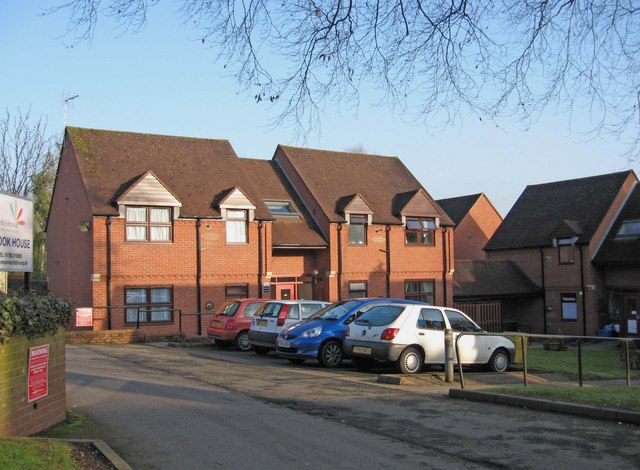
Image: © P L Chadwick Taken: 6 Feb 2010
This property offers 16 flats (1 bed & 2 bed) and is managed by the Beth Johnson Housing Association. It is unsupported accommodation. The house was built in 1987 and presumably takes its name after the small brook, which is adjacent to one side of the building. As the restored stretch of the Newport Canal is on the other side of the brook, some residents would have a nice view of the canal. Image
Images are licensed for reuse under creativecommons.org/licenses/by-sa/2.0
Image Location
Latitude
52.771937
Longitude
-2.381487