Lower Garfield Street, Belfast 2010-2
Introduction
The photograph on this page of Lower Garfield Street, Belfast 2010-2 by Albert Bridge as part of the Geograph project.
The Geograph project started in 2005 with the aim of publishing, organising and preserving representative images for every square kilometre of Great Britain, Ireland and the Isle of Man.

There are currently over 7.5m images from over 14,400 individuals and you can help contribute to the project by visiting https://www.geograph.org.uk
Lower Garfield Street, Belfast 2010-2
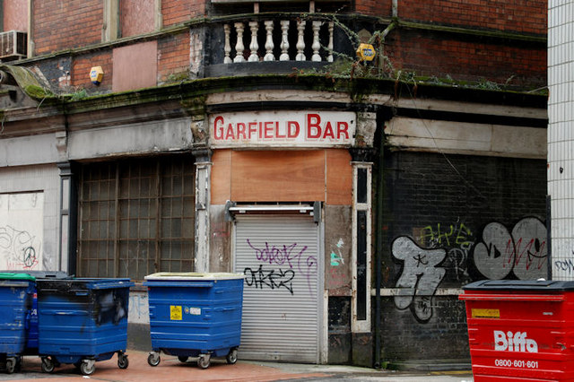
Image: © Albert Bridge Taken: 7 Feb 2010
See Image The former Garfield Bar on the southern side. The entry behind the red bin is this one Image Continue to Image See also Image
Images are licensed for reuse under creativecommons.org/licenses/by-sa/2.0
Image Location
Latitude
54.601367
Longitude
-5.930177