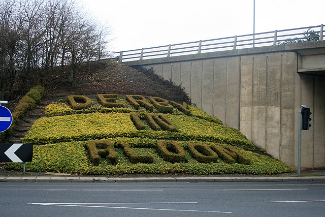
"DERBY IN RLOOM"
Introduction
The photograph on this page of "DERBY IN RLOOM" by David Lally as part of the Geograph project.
The Geograph project started in 2005 with the aim of publishing, organising and preserving representative images for every square kilometre of Great Britain, Ireland and the Isle of Man.
There are currently over 7.5m images from over 14,400 individuals and you can help contribute to the project by visiting https://www.geograph.org.uk

Image: © David Lally Taken: 7 Feb 2010
Should of course be DERBY IN BLOOM, but unfortunately a bit of the box has died leaving the bottom loop of the B incomplete. This greets travellers entering Derby via the slip road off the A52 Brian Clough Way at the woefully inadequate junction known as the Pentagon Roundabout. Tailback from this junction can, at peak times, reach as far eastward as Ockbrook about three and a half miles back http://www.cbrd.co.uk/badjunctions/junction.php?id=37 .

