Sluice Lane
Introduction
The photograph on this page of Sluice Lane by Simon Carey as part of the Geograph project.
The Geograph project started in 2005 with the aim of publishing, organising and preserving representative images for every square kilometre of Great Britain, Ireland and the Isle of Man.

There are currently over 7.5m images from over 14,400 individuals and you can help contribute to the project by visiting https://www.geograph.org.uk
Sluice Lane
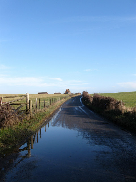
Image: © Simon Carey Taken: 6 Feb 2010
The old road across the marsh linking Pevensey to Bexhill and Hastings begins its climb up Rockhouse Bank towards the farm of the same name.
Images are licensed for reuse under creativecommons.org/licenses/by-sa/2.0
Image Location
Latitude
50.825689
Longitude
0.378009