Croydon: Signs on the footpath
Introduction
The photograph on this page of Croydon: Signs on the footpath by Dr Neil Clifton as part of the Geograph project.
The Geograph project started in 2005 with the aim of publishing, organising and preserving representative images for every square kilometre of Great Britain, Ireland and the Isle of Man.

There are currently over 7.5m images from over 14,400 individuals and you can help contribute to the project by visiting https://www.geograph.org.uk
Croydon: Signs on the footpath
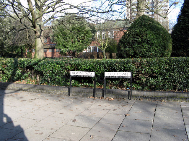
Image: © Dr Neil Clifton Taken: 5 Feb 2010
The scene here looks peaceful enough, with the churchyard in front of the paved path, but behind the photographer a dual-carriageway roars along, supposedly restricted to 40 mph, (a limit that is ignored by many drivers). These signs show the point at which this road, and also the path, changes name from Roman Way (to the north) to Old Town (to the south).
Images are licensed for reuse under creativecommons.org/licenses/by-sa/2.0
Image Location
Latitude
51.371977
Longitude
-0.105869