Junction of Cockshot Road with Cockshot Road!
Introduction
The photograph on this page of Junction of Cockshot Road with Cockshot Road! by Ian Capper as part of the Geograph project.
The Geograph project started in 2005 with the aim of publishing, organising and preserving representative images for every square kilometre of Great Britain, Ireland and the Isle of Man.

There are currently over 7.5m images from over 14,400 individuals and you can help contribute to the project by visiting https://www.geograph.org.uk
Junction of Cockshot Road with Cockshot Road!
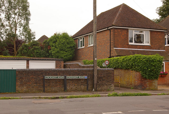
Image: © Ian Capper Taken: 26 Jul 2009
It would seem that separate signs are needed opposite Oakhill Road due to the right hand spur being a cul-de-sac. The footpath leads through to Smoke Lane.
Images are licensed for reuse under creativecommons.org/licenses/by-sa/2.0
Image Location
Latitude
51.231143
Longitude
-0.197127