The Newtownards Road, Cottown
Introduction
The photograph on this page of The Newtownards Road, Cottown by Rossographer as part of the Geograph project.
The Geograph project started in 2005 with the aim of publishing, organising and preserving representative images for every square kilometre of Great Britain, Ireland and the Isle of Man.

There are currently over 7.5m images from over 14,400 individuals and you can help contribute to the project by visiting https://www.geograph.org.uk
The Newtownards Road, Cottown
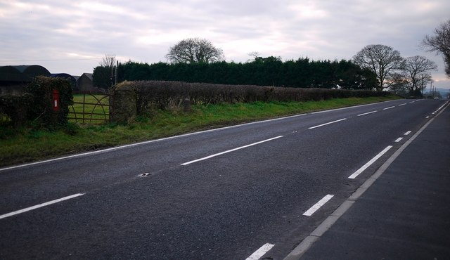
Image: © Rossographer Taken: 6 Feb 2010
The main Donaghdee to Newtownards Road at Cottown near Six Road Ends. You may just be able to make out a milepost http://www.geograph.org.uk/search.php?i=10568708 in the grass verge on the left; see also Image for a closer view of the postbox.
Images are licensed for reuse under creativecommons.org/licenses/by-sa/2.0
Image Location
Latitude
54.637363
Longitude
-5.597628