Barley at Nouds
Introduction
The photograph on this page of Barley at Nouds by Penny Mayes as part of the Geograph project.
The Geograph project started in 2005 with the aim of publishing, organising and preserving representative images for every square kilometre of Great Britain, Ireland and the Isle of Man.

There are currently over 7.5m images from over 14,400 individuals and you can help contribute to the project by visiting https://www.geograph.org.uk
Barley at Nouds
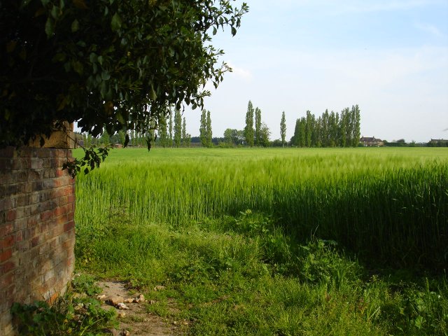
Image: © Penny Mayes Taken: 12 May 2006
Taken from the corner of Bogle Road just before it meets Nouds Road. The brick structure on the left supports a water tank and from a sign in the nearby hedge warning of measures for the prevention of hop wilt, this used to be a hop garden which explains the presence of the nearby large oast house, now a private house.
Images are licensed for reuse under creativecommons.org/licenses/by-sa/2.0
Image Location
Latitude
51.314482
Longitude
0.805323