Signs at Edenballycoggill
Introduction
The photograph on this page of Signs at Edenballycoggill by Dean Molyneaux as part of the Geograph project.
The Geograph project started in 2005 with the aim of publishing, organising and preserving representative images for every square kilometre of Great Britain, Ireland and the Isle of Man.

There are currently over 7.5m images from over 14,400 individuals and you can help contribute to the project by visiting https://www.geograph.org.uk
Signs at Edenballycoggill
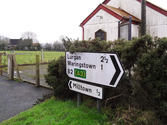
Image: © Dean Molyneaux Taken: 6 Feb 2010
Situated at this junction Image - whether Milltown should be regarded as a settlement worthy of a sign is debatable. The former mission hall in the background has deteriorated further since this 2006 shot: Image
Images are licensed for reuse under creativecommons.org/licenses/by-sa/2.0
Image Location
Latitude
54.443665
Longitude
-6.278529