Broadwood Loch Dam
Introduction
The photograph on this page of Broadwood Loch Dam by Robert Murray as part of the Geograph project.
The Geograph project started in 2005 with the aim of publishing, organising and preserving representative images for every square kilometre of Great Britain, Ireland and the Isle of Man.

There are currently over 7.5m images from over 14,400 individuals and you can help contribute to the project by visiting https://www.geograph.org.uk
Broadwood Loch Dam
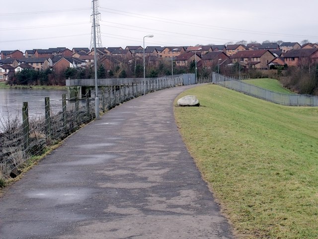
Image: © Robert Murray Taken: 6 Feb 2010
The Moss Water was dammed in 1994 to alleviate the threat of flooding downstream [in reality to allow housing developments to take place on the flood plain] to form what was named Broadwood loch. Of course it is not a loch but a containment reservoir.
Images are licensed for reuse under creativecommons.org/licenses/by-sa/2.0
Image Location
Latitude
55.942788
Longitude
-4.043626