Sharp curve at Edenballycoggill
Introduction
The photograph on this page of Sharp curve at Edenballycoggill by Dean Molyneaux as part of the Geograph project.
The Geograph project started in 2005 with the aim of publishing, organising and preserving representative images for every square kilometre of Great Britain, Ireland and the Isle of Man.

There are currently over 7.5m images from over 14,400 individuals and you can help contribute to the project by visiting https://www.geograph.org.uk
Sharp curve at Edenballycoggill
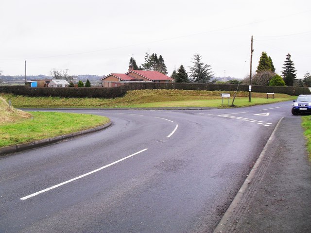
Image: © Dean Molyneaux Taken: 6 Feb 2010
The Lurgan to Dromore road (Dromore Road) takes a sharp left-hand bend here at its junction with the Milltown Road. In days gone by, this was a proper left turn, with the Dromore Road continuing towards Milltown and Donaghcloney. Townland of Edenballycoggill.
Images are licensed for reuse under creativecommons.org/licenses/by-sa/2.0
Image Location
Latitude
54.443752
Longitude
-6.278371