Croydon: The 'Royal Standard'
Introduction
The photograph on this page of Croydon: The 'Royal Standard' by Dr Neil Clifton as part of the Geograph project.
The Geograph project started in 2005 with the aim of publishing, organising and preserving representative images for every square kilometre of Great Britain, Ireland and the Isle of Man.

There are currently over 7.5m images from over 14,400 individuals and you can help contribute to the project by visiting https://www.geograph.org.uk
Croydon: The 'Royal Standard'
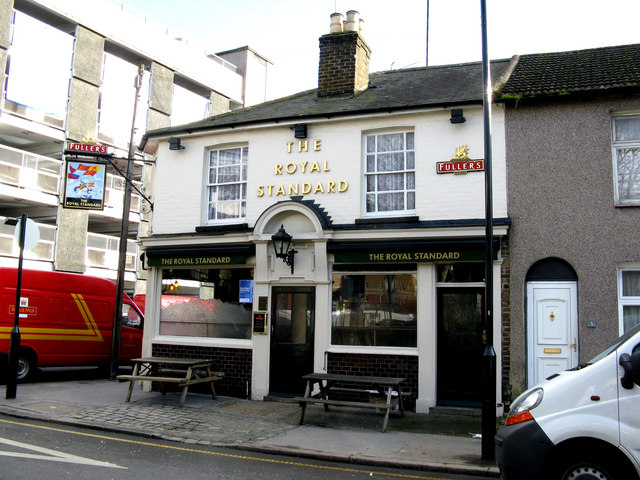
Image: © Dr Neil Clifton Taken: 5 Feb 2010
In Croydon, there are two types of public house: (a)the showy ones on the front that aim to be fashionable and sell lots of lager, (b)proper pubs where you can sit down and enjoy a good pint of real ale without having your head blown off by the noise from a juke box. The Royal Standard definitely comes into category (b).
Images are licensed for reuse under creativecommons.org/licenses/by-sa/2.0
Image Location
Latitude
51.370479
Longitude
-0.102196