Upper Kelvin Valley
Introduction
The photograph on this page of Upper Kelvin Valley by Robert Murray as part of the Geograph project.
The Geograph project started in 2005 with the aim of publishing, organising and preserving representative images for every square kilometre of Great Britain, Ireland and the Isle of Man.

There are currently over 7.5m images from over 14,400 individuals and you can help contribute to the project by visiting https://www.geograph.org.uk
Upper Kelvin Valley
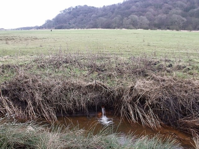
Image: © Robert Murray Taken: 6 Feb 2010
The pipe in the banking of the Shawend Burn spewing water explains the flat green plain.
Images are licensed for reuse under creativecommons.org/licenses/by-sa/2.0
Image Location
Latitude
55.971801
Longitude
-4.033618