The upper Kelvin Valley
Introduction
The photograph on this page of The upper Kelvin Valley by Robert Murray as part of the Geograph project.
The Geograph project started in 2005 with the aim of publishing, organising and preserving representative images for every square kilometre of Great Britain, Ireland and the Isle of Man.

There are currently over 7.5m images from over 14,400 individuals and you can help contribute to the project by visiting https://www.geograph.org.uk
The upper Kelvin Valley
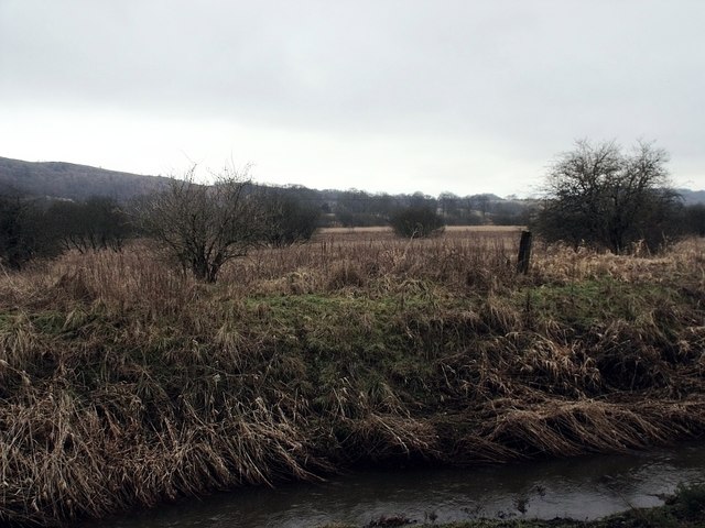
Image: © Robert Murray Taken: 6 Feb 2010
The Forth & Clyde Canal line is hidden in the distance but the western shoulder of Croy Hill features.
Images are licensed for reuse under creativecommons.org/licenses/by-sa/2.0
Image Location
Latitude
55.970359
Longitude
-4.039311