Cairn
Introduction
The photograph on this page of Cairn by Alan Thomson as part of the Geograph project.
The Geograph project started in 2005 with the aim of publishing, organising and preserving representative images for every square kilometre of Great Britain, Ireland and the Isle of Man.

There are currently over 7.5m images from over 14,400 individuals and you can help contribute to the project by visiting https://www.geograph.org.uk
Cairn
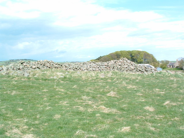
Image: © Alan Thomson Taken: 14 May 2006
Opposite the farm at Cantlayhills this at onetime had been a very large cairn
Images are licensed for reuse under creativecommons.org/licenses/by-sa/2.0
Image Location
Latitude
57.005507
Longitude
-2.190958