Dromore Road at Edenballycoggill
Introduction
The photograph on this page of Dromore Road at Edenballycoggill by Dean Molyneaux as part of the Geograph project.
The Geograph project started in 2005 with the aim of publishing, organising and preserving representative images for every square kilometre of Great Britain, Ireland and the Isle of Man.

There are currently over 7.5m images from over 14,400 individuals and you can help contribute to the project by visiting https://www.geograph.org.uk
Dromore Road at Edenballycoggill
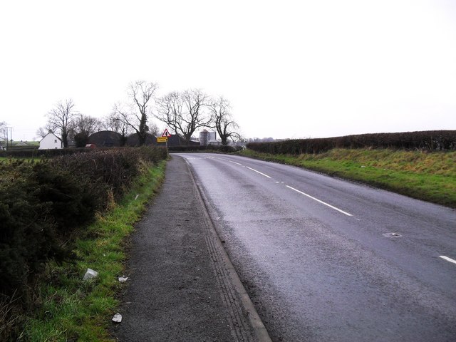
Image: © Dean Molyneaux Taken: 6 Feb 2010
This is probably the narrowest and worst section of the twisty B2 Lurgan to Dromore road - it is hard to safely exceed 40mph along this short patch between the Milltown Road and Mill Hill - not least when you meet an articulated lorry invading your lane. Townland of Edenballycoggill.
Images are licensed for reuse under creativecommons.org/licenses/by-sa/2.0
Image Location
Latitude
54.44421
Longitude
-6.278969