Field south of Dernol
Introduction
The photograph on this page of Field south of Dernol by Nigel Brown as part of the Geograph project.
The Geograph project started in 2005 with the aim of publishing, organising and preserving representative images for every square kilometre of Great Britain, Ireland and the Isle of Man.

There are currently over 7.5m images from over 14,400 individuals and you can help contribute to the project by visiting https://www.geograph.org.uk
Field south of Dernol
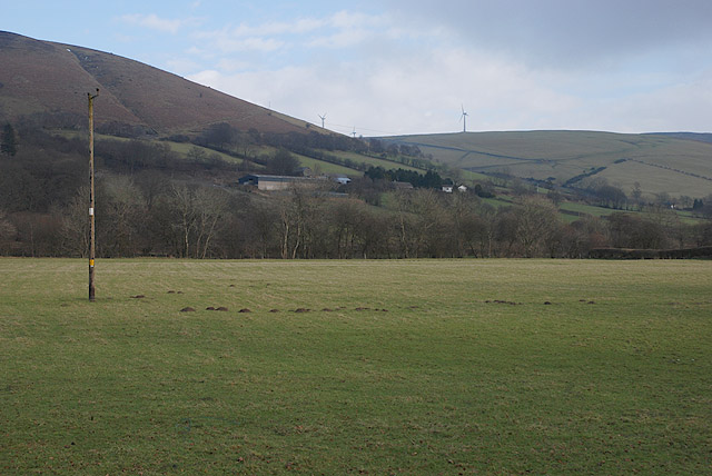
Image: © Nigel Brown Taken: 6 Feb 2010
One of the few good flat areas of grazing in the valley.
Images are licensed for reuse under creativecommons.org/licenses/by-sa/2.0
Image Location
Latitude
52.354032
Longitude
-3.586272