Grazing land near Pant-y-drain
Introduction
The photograph on this page of Grazing land near Pant-y-drain by Nigel Brown as part of the Geograph project.
The Geograph project started in 2005 with the aim of publishing, organising and preserving representative images for every square kilometre of Great Britain, Ireland and the Isle of Man.

There are currently over 7.5m images from over 14,400 individuals and you can help contribute to the project by visiting https://www.geograph.org.uk
Grazing land near Pant-y-drain
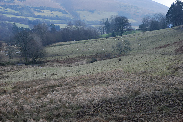
Image: © Nigel Brown Taken: 6 Feb 2010
Mainly reasonable grazing with some damper patches. The farm can be just seen on the right.
Images are licensed for reuse under creativecommons.org/licenses/by-sa/2.0
Image Location
Latitude
52.375358
Longitude
-3.598348