High Storrs School
Introduction
The photograph on this page of High Storrs School by Roger Butterfield as part of the Geograph project.
The Geograph project started in 2005 with the aim of publishing, organising and preserving representative images for every square kilometre of Great Britain, Ireland and the Isle of Man.

There are currently over 7.5m images from over 14,400 individuals and you can help contribute to the project by visiting https://www.geograph.org.uk
High Storrs School
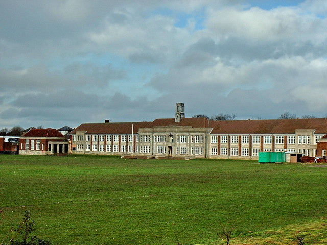
Image: © Roger Butterfield Taken: 31 Mar 2001
High Storrs Secondary School, viewed from Ringinglow Road. The building is designated as a Grade 2 Listed Building and has many original features of Art Deco Style. http://www.highstorrs.sheffield.sch.uk
Images are licensed for reuse under creativecommons.org/licenses/by-sa/2.0
Image Location
Latitude
53.356424
Longitude
-1.522183