Traffic in Glasgow's West End
Introduction
The photograph on this page of Traffic in Glasgow's West End by Stephen McKay as part of the Geograph project.
The Geograph project started in 2005 with the aim of publishing, organising and preserving representative images for every square kilometre of Great Britain, Ireland and the Isle of Man.

There are currently over 7.5m images from over 14,400 individuals and you can help contribute to the project by visiting https://www.geograph.org.uk
Traffic in Glasgow's West End
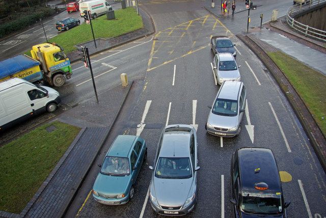
Image: © Stephen McKay Taken: 2 Feb 2010
Cars jostle for position at the complicated junction where the M8 dives under Woodlands Road. The lorry and van are waiting to proceed on to the sliproad that will take them down to the eastbound M8.
Images are licensed for reuse under creativecommons.org/licenses/by-sa/2.0
Image Location
Latitude
55.867709
Longitude
-4.271275