Smoke Lane
Introduction
The photograph on this page of Smoke Lane by Ian Capper as part of the Geograph project.
The Geograph project started in 2005 with the aim of publishing, organising and preserving representative images for every square kilometre of Great Britain, Ireland and the Isle of Man.

There are currently over 7.5m images from over 14,400 individuals and you can help contribute to the project by visiting https://www.geograph.org.uk
Smoke Lane
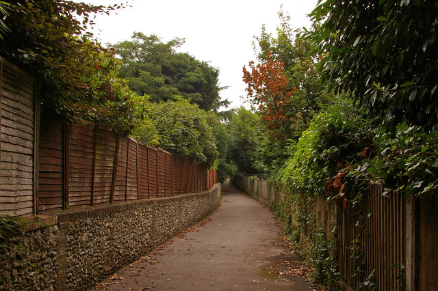
Image: © Ian Capper Taken: 26 Jul 2009
This was once a through route as an extension of Smoke Lane and a series of other roads and paths starting around Shaws Corner, ending up on Cockshot Hill. It is now only a footpath. The fence on the left is of the back gardens in a road to which the name Smoke Lane has been transferred.
Images are licensed for reuse under creativecommons.org/licenses/by-sa/2.0
Image Location
Latitude
51.229636
Longitude
-0.200867