Wheat field near Provender
Introduction
The photograph on this page of Wheat field near Provender by Penny Mayes as part of the Geograph project.
The Geograph project started in 2005 with the aim of publishing, organising and preserving representative images for every square kilometre of Great Britain, Ireland and the Isle of Man.

There are currently over 7.5m images from over 14,400 individuals and you can help contribute to the project by visiting https://www.geograph.org.uk
Wheat field near Provender
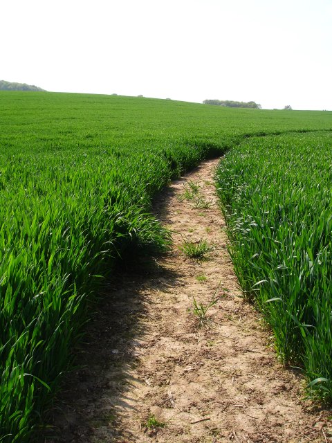
Image: © Penny Mayes Taken: 12 May 2006
North of the Faversham Road. The higher parts of this field are marked as orchard on the map and nearby poplar windbreaks are another pointer to this former usage. The wood on the brow of the slope is Provender Wood.
Images are licensed for reuse under creativecommons.org/licenses/by-sa/2.0
Image Location
Latitude
51.306537
Longitude
0.836407