Torres Loan track
Introduction
The photograph on this page of Torres Loan track by edward mcmaihin as part of the Geograph project.
The Geograph project started in 2005 with the aim of publishing, organising and preserving representative images for every square kilometre of Great Britain, Ireland and the Isle of Man.

There are currently over 7.5m images from over 14,400 individuals and you can help contribute to the project by visiting https://www.geograph.org.uk
Torres Loan track
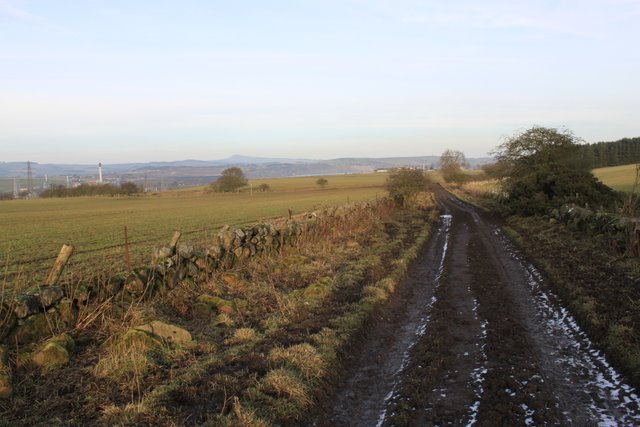
Image: © edward mcmaihin Taken: 5 Feb 2010
Torres loan right of way track before Pitkinny farm, this track through the countryside goes from Lochore to Woodend.
Images are licensed for reuse under creativecommons.org/licenses/by-sa/2.0
Image Location
Latitude
56.153852
Longitude
-3.303107