Lon Goch near to Llanddona
Introduction
The photograph on this page of Lon Goch near to Llanddona by Nigel Williams as part of the Geograph project.
The Geograph project started in 2005 with the aim of publishing, organising and preserving representative images for every square kilometre of Great Britain, Ireland and the Isle of Man.

There are currently over 7.5m images from over 14,400 individuals and you can help contribute to the project by visiting https://www.geograph.org.uk
Lon Goch near to Llanddona
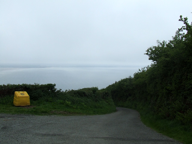
Image: © Nigel Williams Taken: 13 May 2006
This lane called Lon Goch ( Welsh for Red road ) is very narrow and very steep, and leads down to the beach
Images are licensed for reuse under creativecommons.org/licenses/by-sa/2.0
Image Location
Latitude
53.306797
Longitude
-4.135595