Craigmarloch Stables
Introduction
The photograph on this page of Craigmarloch Stables by Robert Murray as part of the Geograph project.
The Geograph project started in 2005 with the aim of publishing, organising and preserving representative images for every square kilometre of Great Britain, Ireland and the Isle of Man.

There are currently over 7.5m images from over 14,400 individuals and you can help contribute to the project by visiting https://www.geograph.org.uk
Craigmarloch Stables
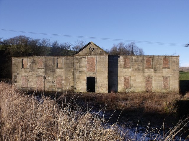
Image: © Robert Murray Taken: 30 Jan 2010
Built in response to rising traffic on the canal from passenger boats as well as freight these were built around 1820. Forth & Clyde standard pattern stable blocks - part of the original building has been demolished. This was the second building and was set back from the canal as the ground adjacent to it was found to be too soft after the first building sank into the bog.
Images are licensed for reuse under creativecommons.org/licenses/by-sa/2.0
Image Location
Latitude
55.974088
Longitude
-4.025725