Seventh-Day Adventist Church, Newport
Introduction
The photograph on this page of Seventh-Day Adventist Church, Newport by Jaggery as part of the Geograph project.
The Geograph project started in 2005 with the aim of publishing, organising and preserving representative images for every square kilometre of Great Britain, Ireland and the Isle of Man.

There are currently over 7.5m images from over 14,400 individuals and you can help contribute to the project by visiting https://www.geograph.org.uk
Seventh-Day Adventist Church, Newport
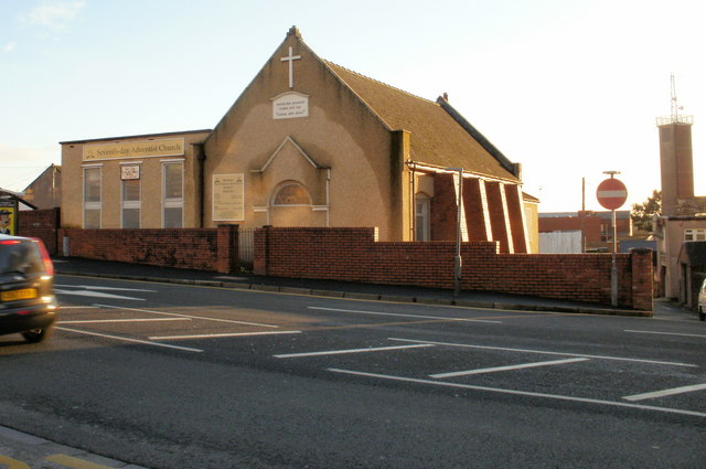
Image: © Jaggery Taken: 24 Jan 2010
Located on Chepstow Road, between Rosslyn Road and Tweedy Lane. Visible in the right background is Maindee Fire Station training tower. http://www.geograph.org.uk/photo/1561664
Images are licensed for reuse under creativecommons.org/licenses/by-sa/2.0
Image Location
Latitude
51.588604
Longitude
-2.974268