Langley Lane, Birch
Introduction
The photograph on this page of Langley Lane, Birch by David Dixon as part of the Geograph project.
The Geograph project started in 2005 with the aim of publishing, organising and preserving representative images for every square kilometre of Great Britain, Ireland and the Isle of Man.

There are currently over 7.5m images from over 14,400 individuals and you can help contribute to the project by visiting https://www.geograph.org.uk
Langley Lane, Birch
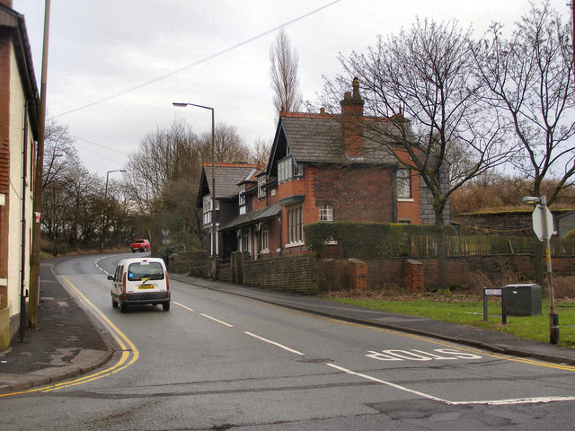
Image: © David Dixon Taken: 4 Feb 2010
View of Langley Lane at its junction with Heywood Old Road. The row of terraced houses on the right hand side is named "Birch Villas" and dates from the late nineteenth century. Image]
Images are licensed for reuse under creativecommons.org/licenses/by-sa/2.0
Image Location
Latitude
53.565612
Longitude
-2.224023