The Wynd (looking north)
Introduction
The photograph on this page of The Wynd (looking north) by Texas Radio and The Big Beat as part of the Geograph project.
The Geograph project started in 2005 with the aim of publishing, organising and preserving representative images for every square kilometre of Great Britain, Ireland and the Isle of Man.

There are currently over 7.5m images from over 14,400 individuals and you can help contribute to the project by visiting https://www.geograph.org.uk
The Wynd (looking north)
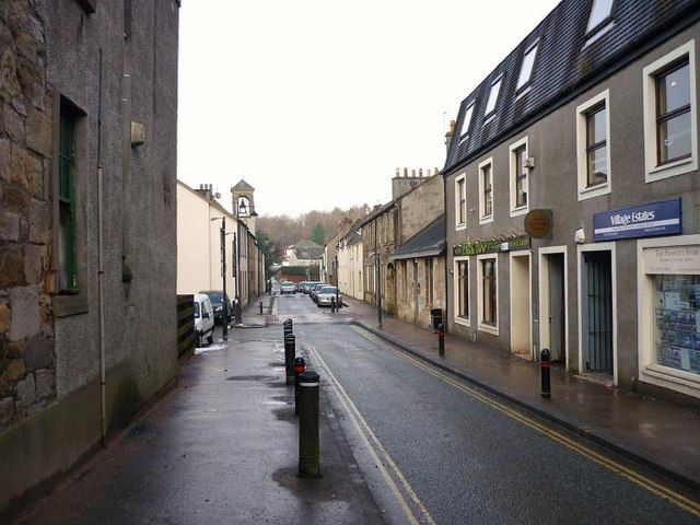
Image: © Texas Radio and The Big Beat Taken: 4 Feb 2010
The bell tower on the left is that of the United Free Kirk. (Built as Burgher Meeting House 1743, re-built 1825 became Village Hall).
Images are licensed for reuse under creativecommons.org/licenses/by-sa/2.0
Image Location
Latitude
55.962862
Longitude
-3.975471