Snowy fields east of Clunderwen
Introduction
The photograph on this page of Snowy fields east of Clunderwen by Deborah Tilley as part of the Geograph project.
The Geograph project started in 2005 with the aim of publishing, organising and preserving representative images for every square kilometre of Great Britain, Ireland and the Isle of Man.

There are currently over 7.5m images from over 14,400 individuals and you can help contribute to the project by visiting https://www.geograph.org.uk
Snowy fields east of Clunderwen
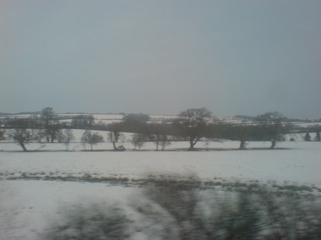
Image: © Deborah Tilley Taken: 11 Jan 2010
View from the train window across a sparse countryside. Cefnfarchen farm is situated beyond the trees. The small river can just be seen meandering through the land. There isn't a great amount in this grid square to comment on.
Images are licensed for reuse under creativecommons.org/licenses/by-sa/2.0
Image Location


Leaflet Map data © OpenStreetMap
Latitude
51.836308
Longitude
-4.665388