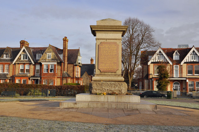
Civil War Memorial, Freedom Fields - Plymouth
Introduction
The photograph on this page of Civil War Memorial, Freedom Fields - Plymouth by Mick Lobb as part of the Geograph project.
The Geograph project started in 2005 with the aim of publishing, organising and preserving representative images for every square kilometre of Great Britain, Ireland and the Isle of Man.
There are currently over 7.5m images from over 14,400 individuals and you can help contribute to the project by visiting https://www.geograph.org.uk

Image: © Mick Lobb Taken: 31 Jan 2010
The memorial bears the following inscription: 'Upon this spot on Sunday December 3rd 1643, after hard fighting for several hours, the Roundhead Garrison of Plymouth made their final rally and routed the Cavalier Army which had surprised the Outworks and well nigh taken the town. For many years it was the custom to celebrate the anniversary of this victory long known as the “Sabbath day fight” and recorded as the “Great Deliverance” of the protracted siege successfully sustained by Troops and Townsfolk on behalf of the Parliament against the King under great hardships for more than three years.' Few who pass the memorial are aware of the reason for it being there and the part played by the citizens of the town during the momentous days of the English Civil War.

