Cecil Place
Introduction
The photograph on this page of Cecil Place by Nigel Mykura as part of the Geograph project.
The Geograph project started in 2005 with the aim of publishing, organising and preserving representative images for every square kilometre of Great Britain, Ireland and the Isle of Man.

There are currently over 7.5m images from over 14,400 individuals and you can help contribute to the project by visiting https://www.geograph.org.uk
Cecil Place
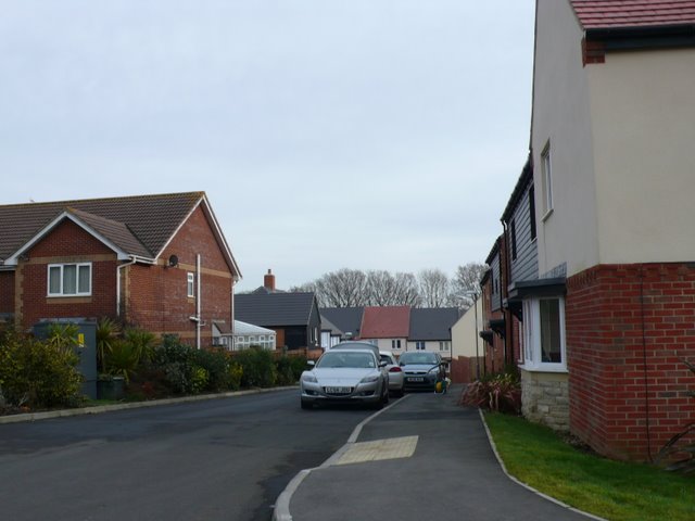
Image: © Nigel Mykura Taken: 31 Jan 2010
Cecil Place is a very new residential development on the northern edge of the grid square in the centre of the village. it is so recent that at the time of submission of this photo, the Google satellite image showed only a few piles of concrete blocks on a building site. It did not appear on Streetmap either.
Images are licensed for reuse under creativecommons.org/licenses/by-sa/2.0
Image Location
Latitude
50.754122
Longitude
-2.078341