Gateway, The Meads
Introduction
The photograph on this page of Gateway, The Meads by Derek Harper as part of the Geograph project.
The Geograph project started in 2005 with the aim of publishing, organising and preserving representative images for every square kilometre of Great Britain, Ireland and the Isle of Man.

There are currently over 7.5m images from over 14,400 individuals and you can help contribute to the project by visiting https://www.geograph.org.uk
Gateway, The Meads
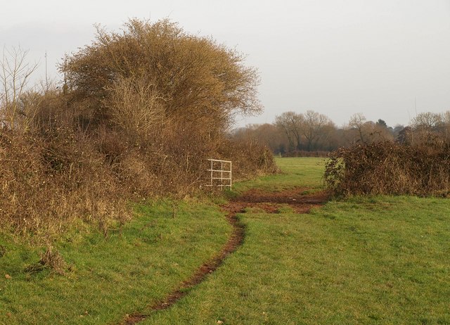
Image: © Derek Harper Taken: 26 Jan 2010
Footpath BW 38/18 runs along the northern side of The Meads, but swings right here towards the Hamp Brook side of the meadows.
Images are licensed for reuse under creativecommons.org/licenses/by-sa/2.0
Image Location
Latitude
51.119003
Longitude
-3.021078